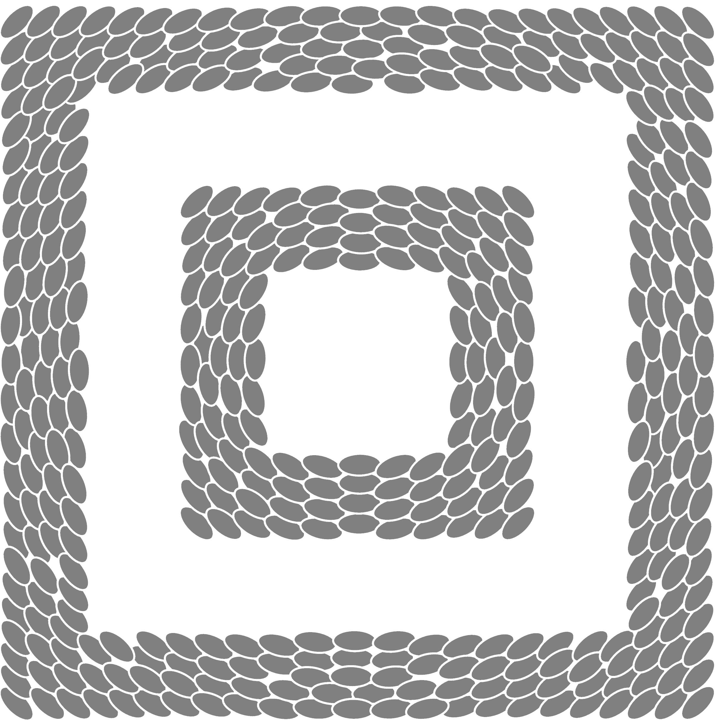

All integrable Hamiltonian systems are alike, while each nonintegrable one is nonintegrable in its own way
domain
There are many situations where a vector field does not fill the whole region we wish to plot, ocean currents are bounded by the coastline for example.
Typically, the vector field will not be defined (i.e., have NaN values) outside the region of interest, and from these the vfplot program will generate a domain, a set of lines which bound the region, and which obey some rules on layout so that one can capture the topology (whether a point is inside or outside the region and so on).
The --dump-domain option allows one to dump the calculated domain to a file, the format is GeoJSON, see these notes for a detailed description.
The generated domain may look a bit rough, particularly when the input grid on which it is calculated is coarse; better results can be obtained (particularly for "geometric domains", parts of circles etc) by creating the GeoJSON domain file by other means, pass the path to the program with the --domain option. There are plenty of third-party tools to help with this, and I'd always recommend validating these files before use.
